 Most reviewed
Tandem flight
Matterhorn Paragliding
- In the air
- 25 minutes
- Rating
- 4.98 from 66 reviews
- Price
- from $372
Guides
Language
EnglishCurrency
US dollar · $On GetYourGuide you see prices in this currency.
Guide · More in Zermatt
The summit is the big day, but the lift has a quieter stop halfway up, the sky above the valley has pilots in it, and the village keeps houses centuries old. Three more ways to spend time below the Matterhorn.
Editorial team, matterhornglacierride.comUpdated October 22, 2026Reading time 6 min53 sources
More in Zermatt, quickly
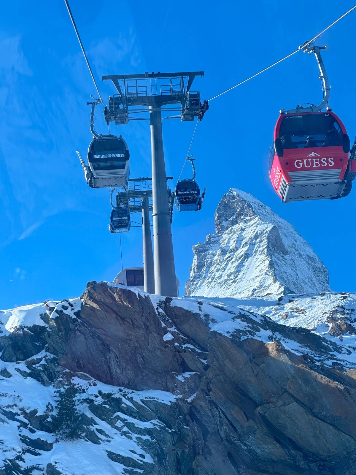
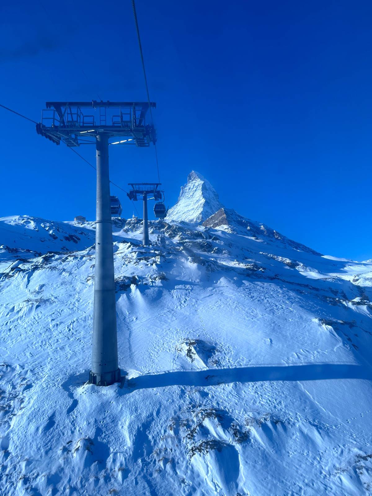
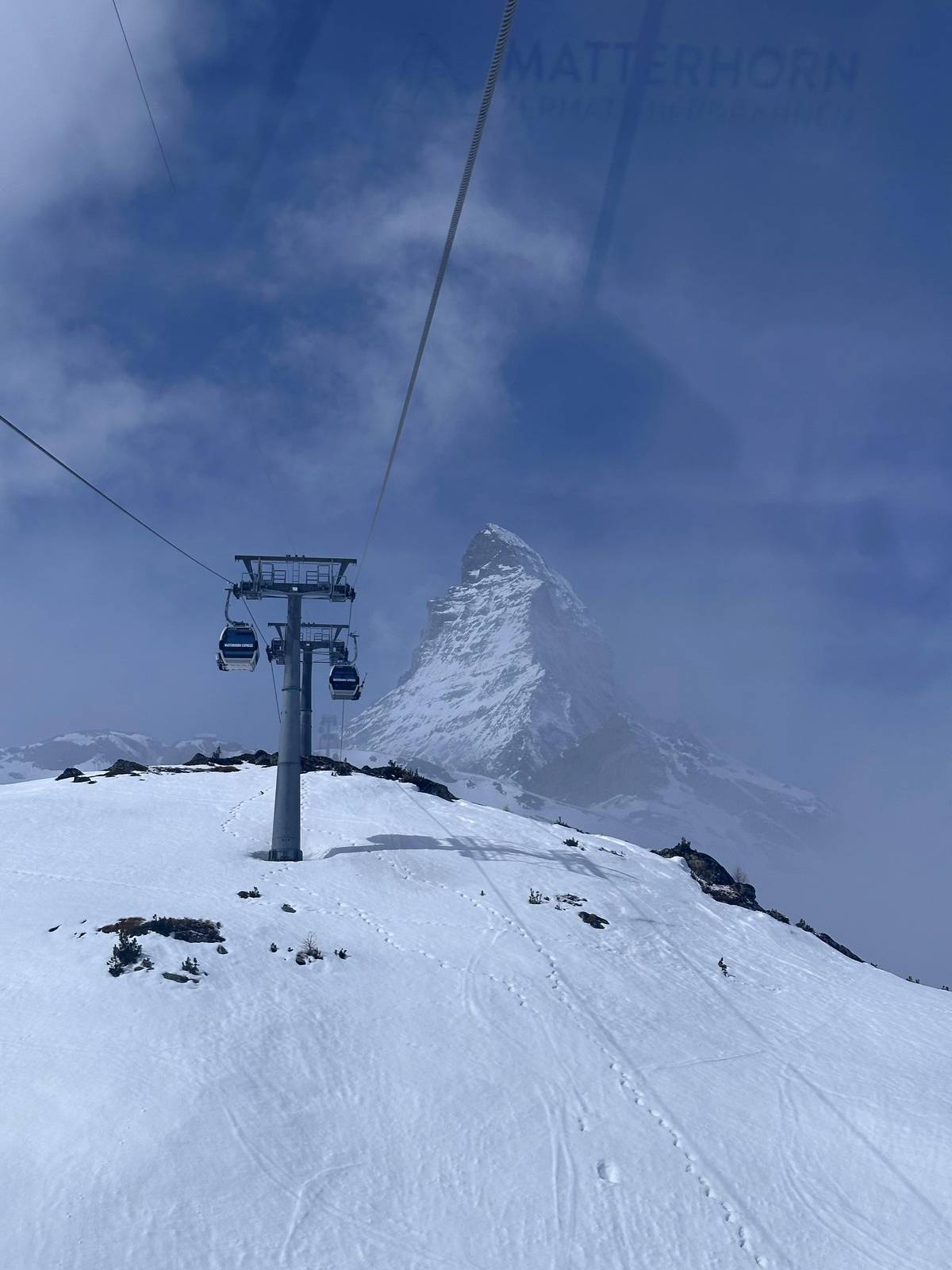
Schwarzsee is a stop on the Matterhorn Express, the gondola line that runs from Zermatt via Furi and Schwarzsee to Trockener Steg.5 Zermatt Bergbahnen's peak page gives 12 minutes from Zermatt to Schwarzsee, while Zermatt Tourism gives 20 minutes including changes.16 Either way it is the shortest ride on this page and the gentlest way to get close to the mountain.
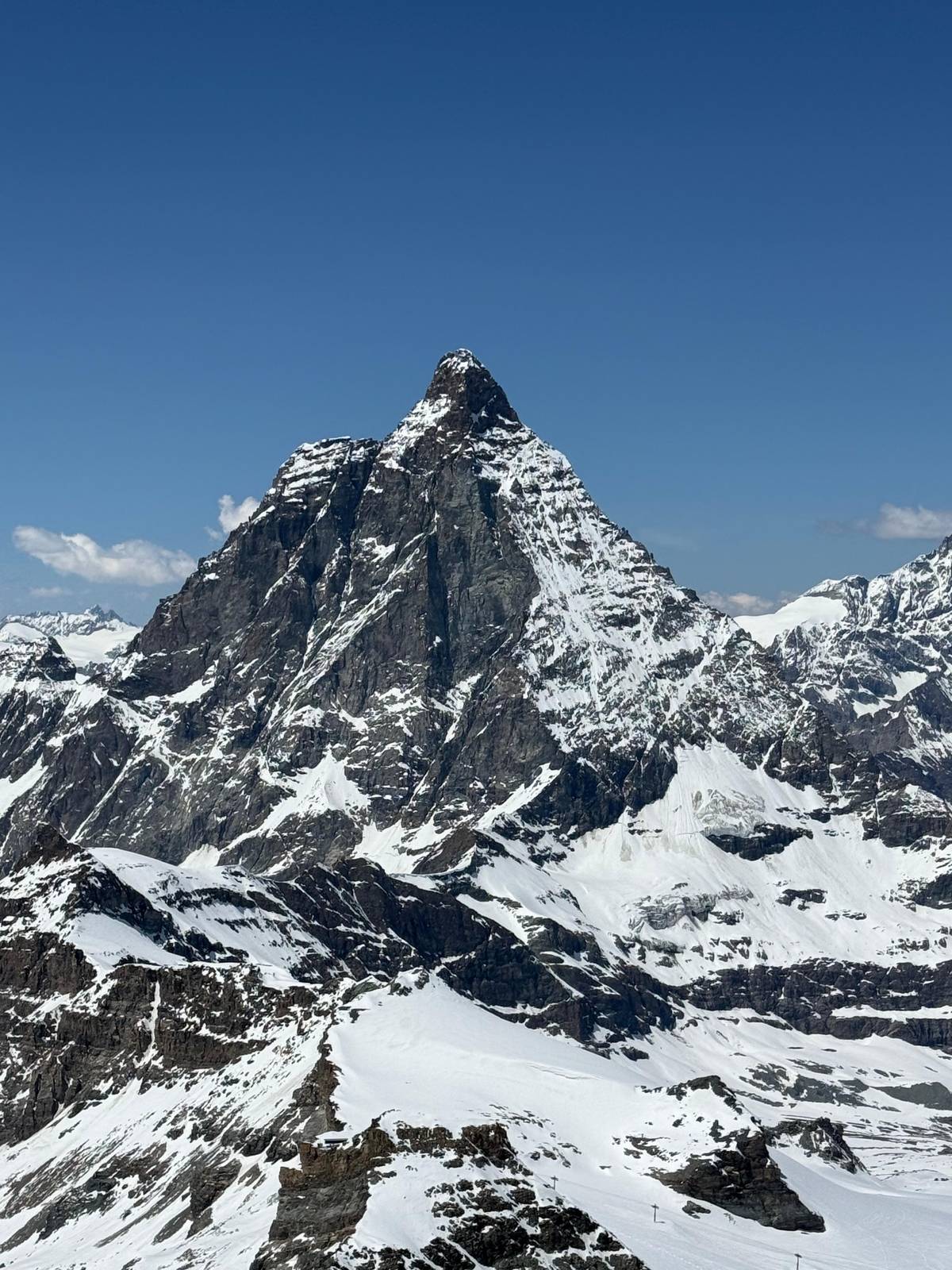
Zermatt Tourism and the operator's peak page put the station at 2,583 metres, while Zermatt Bergbahnen's list of installations gives 2,592 metres.678 The lake itself lies a little lower, at 2,552 m, right at the foot of the Matterhorn.9 From the station you look straight at the east face and the Hörnli ridge, the climbing route that brings many alpinists to the mountain every year.2
That is why the Zermatt Schwarzsee cable car is the stop to choose when the summit is too much for someone in your group, or when you want the Matterhorn from close up rather than from far above. The ticket sold on this site is a return ride to the Matterhorn Glacier Paradise; its listing says nothing about breaking the journey, so ask at the valley station which ticket fits a stop at the lake.
A morning at the lake
Start
From Zermatt via Furi to Schwarzsee.5
12 minutes
The operator's timing from Zermatt.1
5 minutes
A short walk from the gondola station.10
2 hours
7.4 km and 746 m of descent to Furi.3
Furi
90 m high and 100 m long, open in summer.11
Beside the lake, in a small hollow, stands a chapel dedicated to Maria zum Schnee, Our Lady of the Snows; Zermatt Tourism says it goes back to a promise made by two people from Zermatt who were lost in fog near the Theodul Pass.12 It is a 5-minute walk from the gondola station.10
The chapel keeps a tie with the mountain above it. Climbers who reach the Matterhorn summit still visit it afterwards to give thanks, and the trail to the Hörnli hut, Hörnliweg No. 27, leads just above the lake.13 Each year its patron is celebrated on 5 August.14
Even without any religious interest, the walk from the station to the chapel is the simplest outing at this height. It is short, it needs no gear beyond decent shoes and a jacket, and it gives the classic picture of the white chapel, the dark water and the mountain rising behind them. Go early in the day if you want the lake without wind on its surface.
Trails
| Trail | From and to | Time | Distance |
|---|---|---|---|
| Hörnliweg, demanding | Schwarzsee to the Hörnli hut | 2 h 15 min | 4.3 km |
| Matterhorn Glacier Trail | Trockener Steg to Schwarzsee | 2 h | 6.6 km |
| Matterhorn Trail | Schwarzsee to Furi | 2 h | 7.4 km |
Times and distances from the Zermatt Tourism trail pages; the glacier trail was marked closed when read on 2026-10-22.17193
Three bookings
Most reviewedMatterhorn Paragliding
 Lowest price
Small group, old Zermatt
 Full day
Private guide
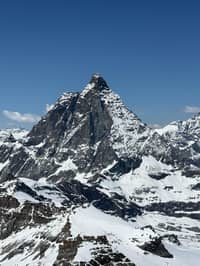
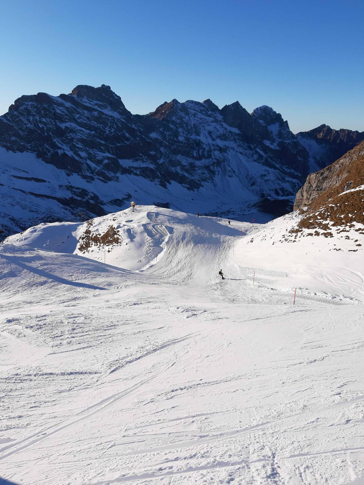
Great snaps are guaranteed from this spot with a direct view of the east face and the Hörnli ridge, the climbing route taken by large numbers of Alpinists every year.
The serious one leads uphill. The Hörnliweg from Schwarzsee to the Hörnli hut is rated demanding T4 and takes 2 h 15 min over 4.3 km, with 693 m of ascent to a high point of 3260 m.17 Zermatt Tourism warns that it includes metal stairs with grating treads hanging over nothing, and that parts of it are exposed.22 An overnight stay in the hut is possible with a reservation.23
The Matterhorn Glacier Trail, No. 26, comes down from Trockener Steg to Schwarzsee in 2 h over 6.6 km, with 174 m of ascent and 515 m of descent; its page showed the trail as closed when we read it on 2026-10-22.19 Along it the Furgg and Theodul glaciers have pulled back by more than three kilometres since the Little Ice Age around 1850.24
The easiest way back to the valley is trail number 29, the Matterhorn Trail, which runs from Schwarzsee via Stafelalp to Furi in 2 h over 7.4 km, all of it downhill, with 746 m of descent.3 Furi lies at 1,867 m and has a suspension footbridge 90 m high and 100 m long, open in summer.1611 From there the lifts take you back down to Zermatt.
Map
The lift chain from the village to the summit station and the border at Testa Grigia, then the rail and road routes that bring you to Zermatt.
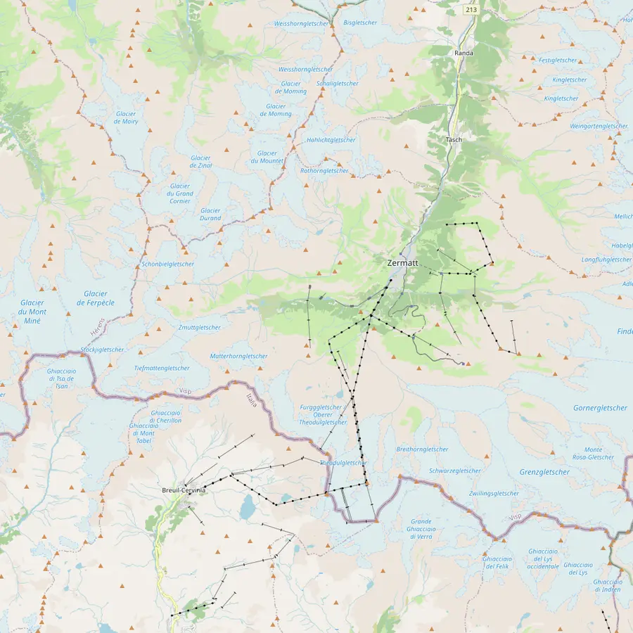 1Zermatt valley station2Furi3Schwarzsee4Trockener Steg5Matterhorn Glacier Paradise6Testa Grigia7Breuil-Cervinia8Zermatt station9Täsch
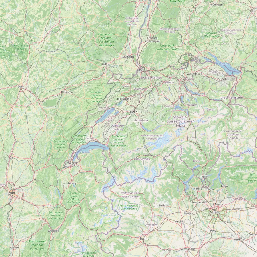 10Zermatt11Visp12Geneva13Lausanne14Montreux15Zurich
The Matterhorn Express starts here at 1,638 m, with step-free access, and a free local bus runs to it from several stops in the village.252627
In Google Maps ↗The first stop of the lift chain, at 1,867 m; a suspension bridge 100 metres long crosses the Gorner Gorge nearby.2829
In Google Maps ↗Twelve minutes from Zermatt, with a direct view of the Matterhorn's east face and the Hörnli ridge.12
In Google Maps ↗At 2,939 m the ride changes from the Matterhorn Express to the 3S cable car; the InfoCube exhibition here is free.3031
In Google Maps ↗The summit station at 3,883 m, which Zermatt Bergbahnen calls Europe's highest, with the viewing platform, the Glacier Palace and the Cinema Lounge.3233
In Google Maps ↗The border with Italy at 3,480 m, a 4-minute ride from the summit on the Matterhorn Glacier Ride II.3435
In Google Maps ↗The Italian resort at 2,050 m in the municipality of Valtournenche, reached from Plateau Rosa via Cime Bianche Laghi and Plan Maison.3637
In Google Maps ↗Trains arrive in the middle of the village, close to the Gornergrat Railway.38
In Google Maps ↗The end of the road for cars: the Matterhorn Terminal has 2,100 covered spaces and a shuttle train to Zermatt every 20 minutes.3940
In Google Maps ↗Trains from Visp run every half hour straight into the car-free village.41
In Google Maps ↗Here you change to the Matterhorn Gotthard Railway, which runs to Zermatt without another change.42
In Google Maps ↗Zermatt Tourism puts Geneva airport four hours away by train; a bus day trip from Geneva lasts 13 hours.43
In Google Maps ↗A day tour bus collects guests outside the Lausanne Vennes metro station at 8:00 am.
In Google Maps ↗A day tour bus stops in front of the CGN loading dock at 8:30 am.
In Google Maps ↗Zermatt Tourism gives three and a half hours by train from Zurich Airport.43
In Google Maps ↗Checklist
Calculator
Pick an outing and enter how many people
Total from$743
per person from $372
Check availabilityfree cancellationEach sum multiplies the listing's GetYourGuide from-price by the number of riders and converts it at the euro reference rate of the day; the checkout shows the real amount for your date.
Video
The video starts loading once you tap play.
Is the Matterhorn in Zermatt? It stands at the head of the valley above the village, and its Swiss climbing route starts from the lake area described above. At 4,478 metres it was first climbed by a roped party of seven alpinists.18 They took the Hörnli ridge on 14 July 1865, the standard Swiss route to this day.44
The first ascent ended in tragedy. Of the seven on that first ascent, only three came back to Zermatt, Edward Whymper among them.45 The four who fell on the way down were Douglas R. Hadow, Charles Hudson, Francis Douglas and Michel-Auguste Croz.46
Today Zermatt Tourism says that between 300 and 400 people try the mountain with a guide every year, and about 20 of them do not reach the top.47 The best time to watch climbers on the ridge is August to September, which is when a pair of binoculars at Schwarzsee earns its place in your bag.23
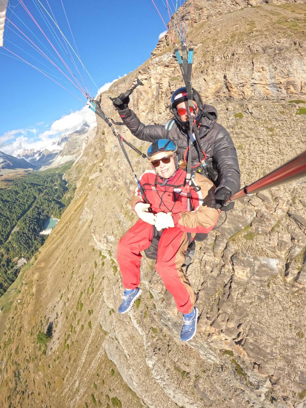
Paragliding operators in Zermatt take passengers up with a licensed pilot at the controls. The Matterhorn Paragliding flight on GetYourGuide starts from $372, lasts 2 hours in total and is rated 4.98 from 66 reviews. Its record lists a 30-minute cable car ride, 15 minutes for the briefing and walk, and 25 minutes in the air.
The operator's own site describes a flight called The Ultimate from the Matterhorn Glacier Paradise, with a take-off at 3800 m and 30-40 minutes of flight time, shorter in winter.48 It adds that flight prices do not include the lift, and that a passenger only needs a one-way ticket to the take-off.49 Weight limits are 90kg for women and 100kg for men in summer, and lower in winter.50
FLYBYPARA has offered tandem flights in Zermatt since 1990 and meets at Bahnhofplatz 7.5152 Its premium flight on GetYourGuide starts from $420, with a 40-minute cable car ride to the Unterrothorn and 25 minutes of flight. The listing does not recommend it for people over 90 kg.
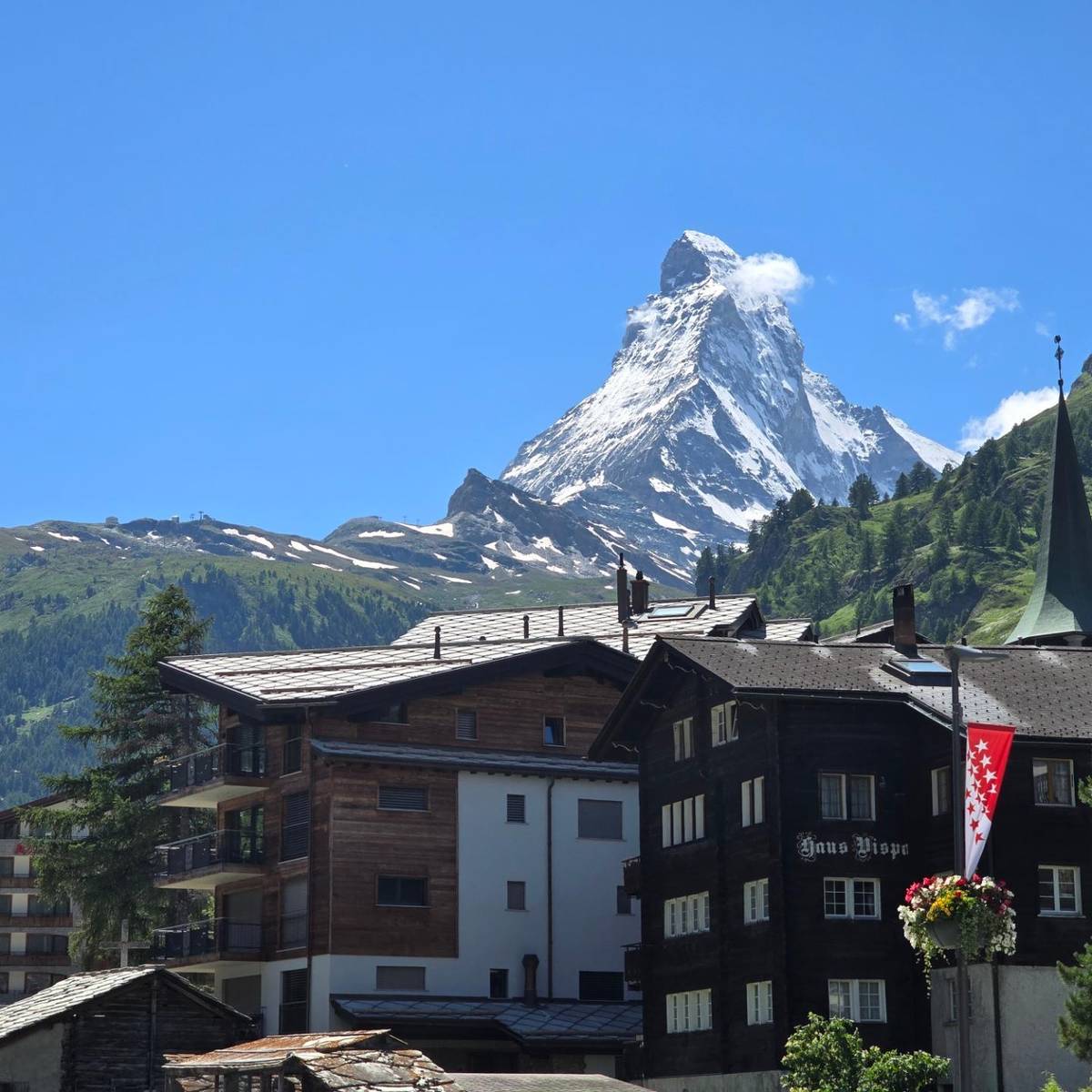
The old part of Zermatt, the Hinterdorf, is a group of barns, stores, stables and houses built between the 16th and 18th centuries.20 It has more than 30 buildings in the style of Upper Valais barns, many sitting on flat stone slabs set on stilts to keep the mice out.4
Underground, the Matterhorn Museum Zermatlantis shows how the people of Zermatt lived in the 19th century, and the broken rope from the first ascent of 1865.21 It is a good wet-weather stop, and the rope makes the story of the first climb real in a way no plaque can.
In July and August a herd of black-necked goats is driven along Bahnhofstrasse around 9 a.m. and 5 p.m.53 For a guided look at the old lanes, a small-group walk starts from $122, lasts 2 hours and stops at the Kirchbrücke photo point for the Matterhorn. The walk starts in front of the tourist information center at the station, and its listing says it is not wheelchair accessible.
These three outings fit around a summit day rather than replacing it. A calm morning is the time for the lake and its reflections, the middle of the day for a flight when the pilots decide the air is right, and the late afternoon for the old village, when the light catches the dark wood of the barns.
If you would rather have someone else plan it, a private guided day combines the summit with a hike from Trockener Steg down to Schwarzsee; it lasts 7 hours and starts from $772. It has 1 review so far, so you book it on the plan more than on the feedback.
Whatever you choose, keep a weather reserve. Matterhorn Paragliding's listing gives a full refund when weather or safety stops the flight, but not for transport to the take-off and back. Every GetYourGuide listing on this page keeps free cancellation open until 24 hours before the start, which is the simplest way to move a day when the forecast turns.
Above the clouds
Pick your date, swap the voucher in Zermatt and ride up while the sky is clear.
Above it, at the head of the valley. The standard Swiss route goes over the Hörnli ridge, whose trail starts above the Schwarzsee lake.4413
12 to 20 minutes. Zermatt Bergbahnen gives 12 minutes; Zermatt Tourism gives 20 minutes including changes.16
The lake lies at 2,552 m. The station is given as 2,583 m by Zermatt Tourism and the operator's peak page, and as 2,592 m in Zermatt Bergbahnen's list of installations.9678
Yes, to Furi. The Matterhorn Trail takes 2 h over 7.4 km, all downhill.3
No, it is rated T4. It is demanding, partly exposed and has metal stairs over drops.1722
Not with Matterhorn Paragliding. Its prices exclude the lift; passengers need a one-way ticket.49
July and August. Around 9 a.m. and 5 p.m. along Bahnhofstrasse.53
Sources
Keep reading